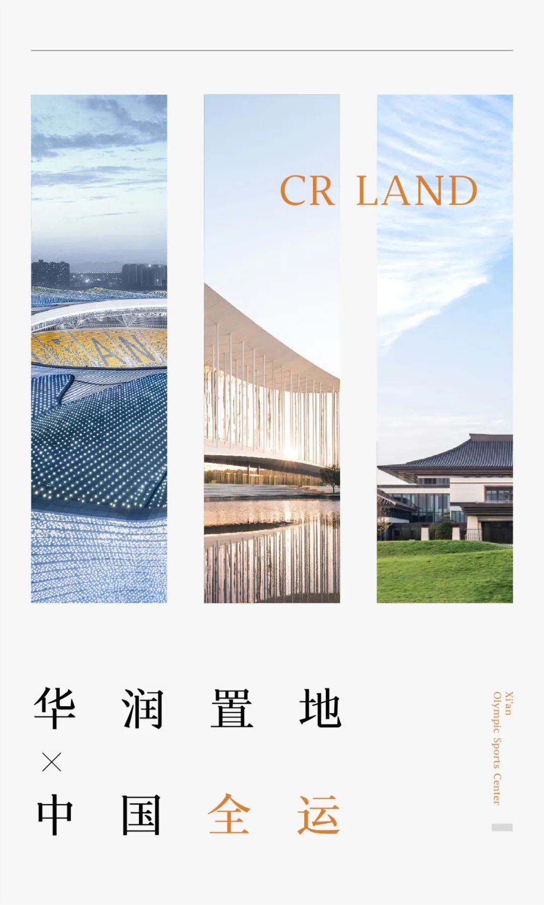

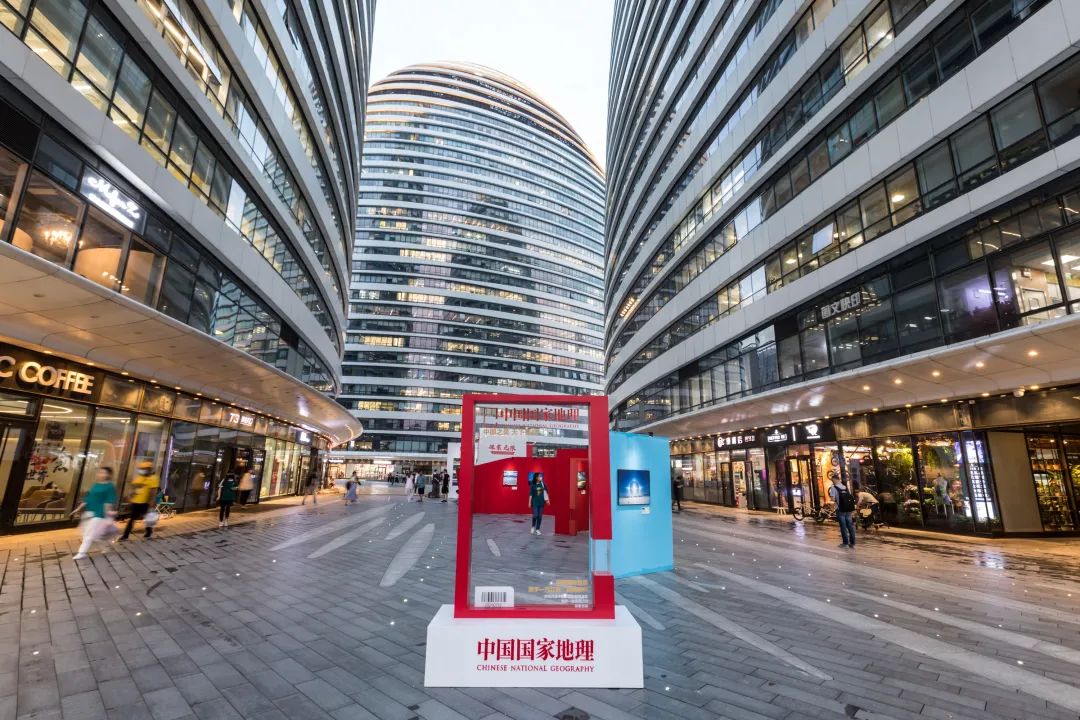
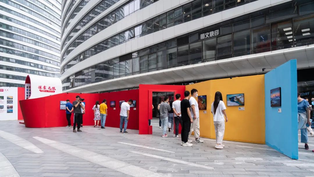
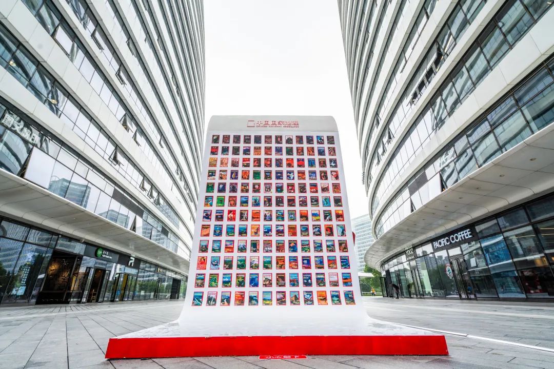
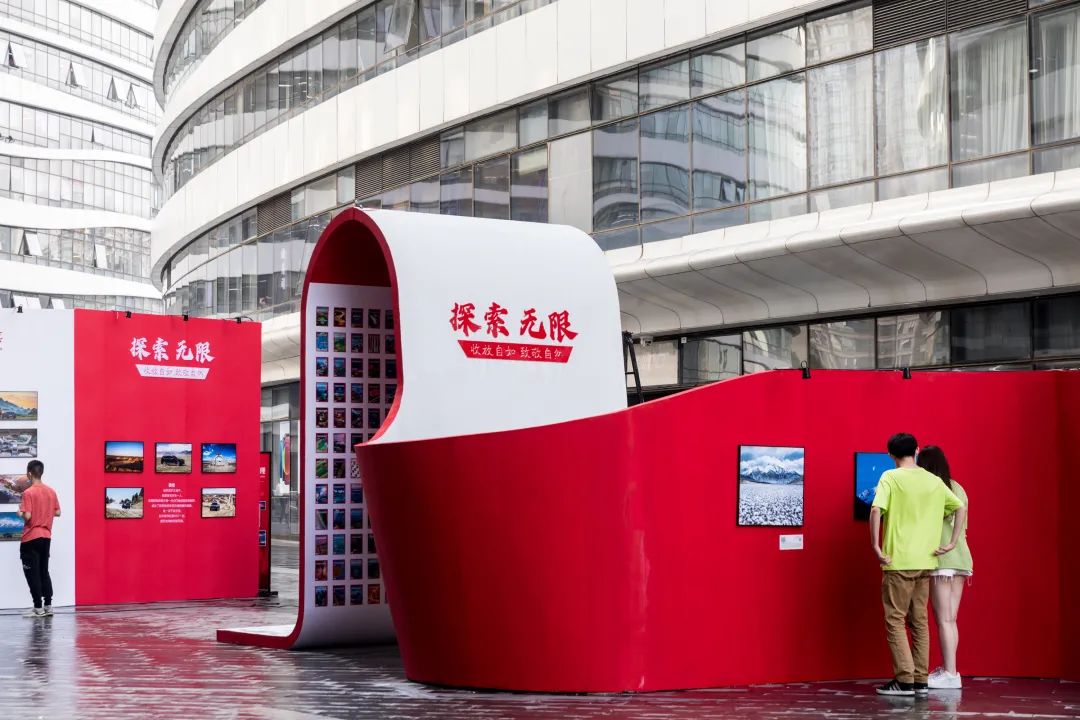
The exhibition recommends that the “exploration unlimited” themed photography exhibition jointly organized by China National Geography, FAW red flag and Ctrip Travel will be displayed in Beijing Wangjing SOHO center square from July 13 to July 19, 2021
. 
Exhibition time: 7 / 13-7 / 19 exhibition method: open to the public, enjoy the beauty of China
. 
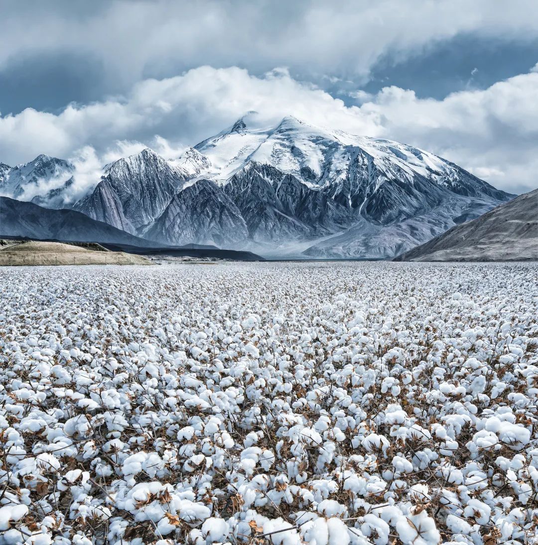
There are the most abundant geomorphic landscapes in the world: mountains, rivers, glaciers, plateaus, wetlands, Gobi, deserts, hills, valleys, karst caves, Danxia, karst The mountain context constructs the earth skeleton, the rivers rush and the blood stretches
. 
There are countless beautiful landscapes hidden between mountains, rivers and seas here
. 
If you change your observation perspective, the scenery in your eyes will be even more amazing: flying high into the sky, the earth will be gradually clear; Deep into the cave, the secret underground world emerges in the dark; Through time and space, ancient civilization stretches thousands of miles and endures..
. 
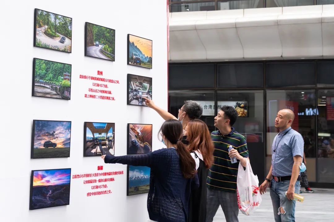
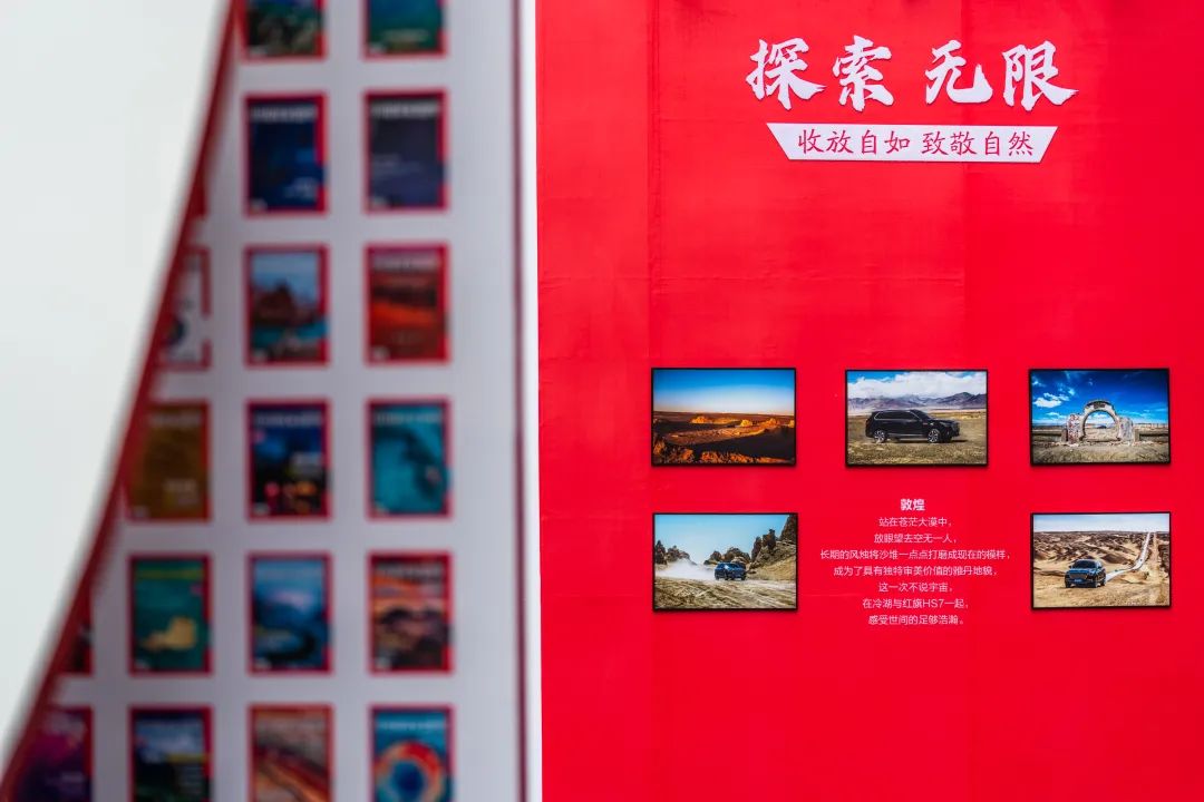
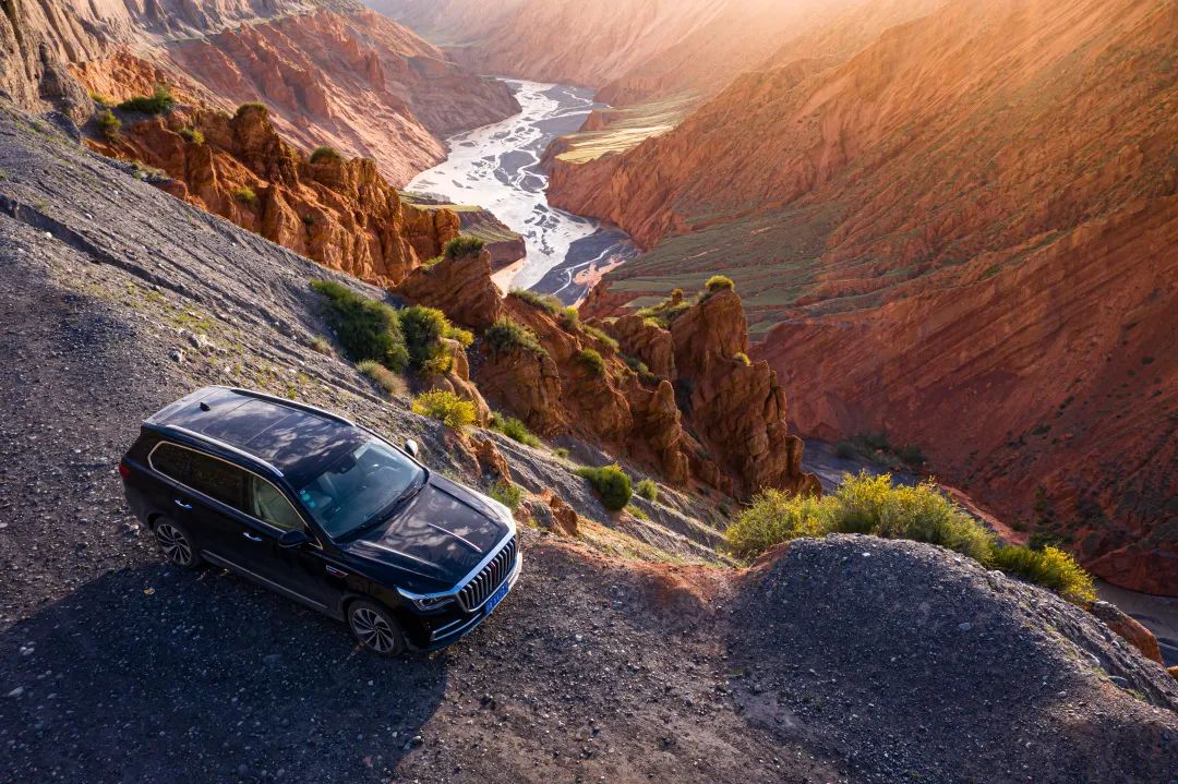
Behind the scenery, there is an interpretation of the scientific mechanism: glacial melting water opens the thousands of miles of Yangtze River, wind and sand shapes the mysterious Yadan, flowing water erodes the Tiankeng ground gap, and atmospheric ice crystals turn into a strange halo China National Geographic, together with FAW red flag and Ctrip Travel, takes the red flag hs7 as the key to feel the mysterious 24 turns in Guizhou, appreciate the unique Yadan landform, travel freely in the huge gap between snow mountains and plains, and enjoy the most beautiful skyline in Xinjiang
. 
The natural and magical beauty of China is officially opened
. 
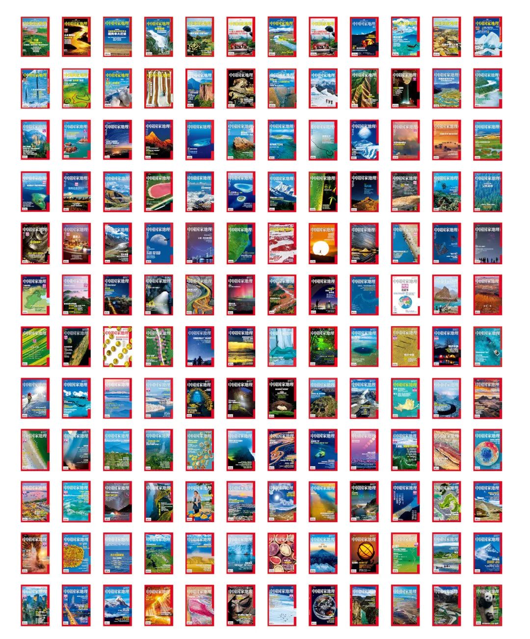
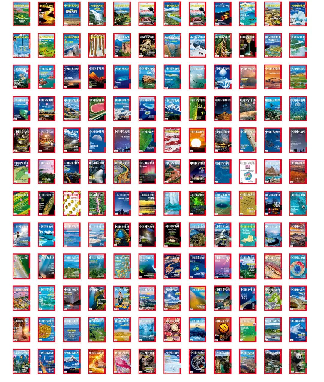
Let’s explore infinity together《 It has been 71 years since the inheritance and change of China’s national geography
. 
Through the persistence in difficult times and the restraint in high light moments, we clearly know that on the road of spreading “Science + art”, we are not only in mild weather, but also in magnificent scenery
. 
China’s National Geographic remains the same for many years
. 
It is the exploration attitude of “pushing the door of nature, showing the essence of humanity”, and the enthusiasm of telling the story of Geography with the spirit of science and building the image of China’s landscape
. 
This special exhibition is expected to be presented in front of everyone: the most outstanding part of the magazine since its publication and revision, and the moment that readers do not yet understand, but will be pleasantly surprised
. 
They represent our past discoveries and a new beginning in the field of science communication
. 
The cloud view exhibition is inspired by the meandering rivers on the earth
. 
A long scroll of Chinese landscape painting slowly unfolds, or rises in the air, or twists and turns, outlining the river and mountain context and earth steps, which echo with the architectural curve
. 
The main color of the exhibition is red, which contains the continuous and endless spiritual core of “the red ribbon of the earth”
. 
Combined with the white, yellow and blue walls, it forms a colorful and unified atmosphere, which forms an interesting contrast with the surrounding silver gray walls and glass curtain walls
. 
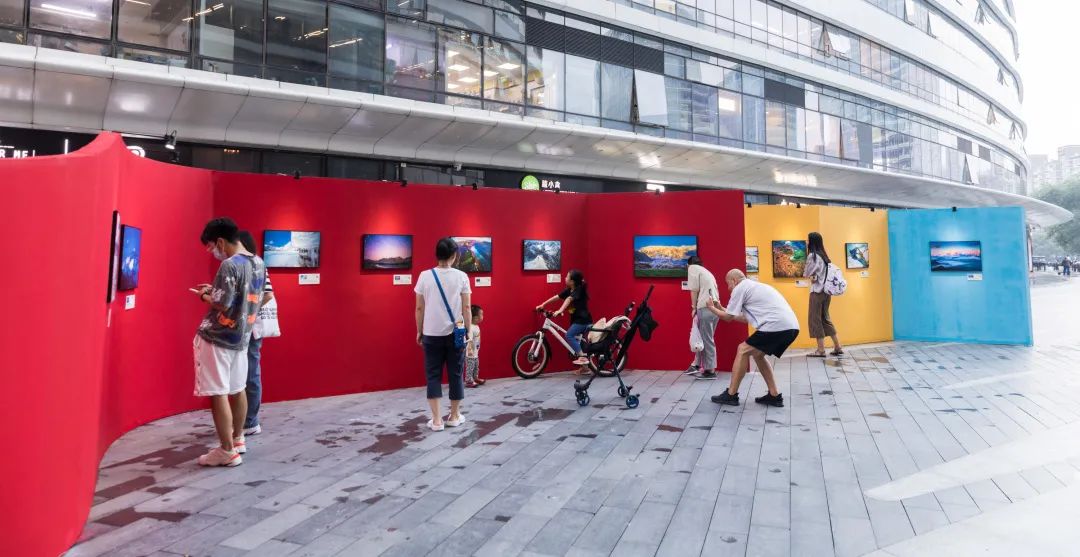
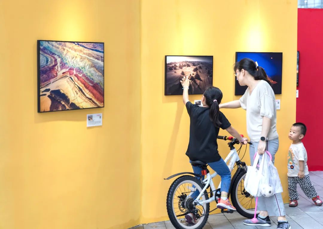
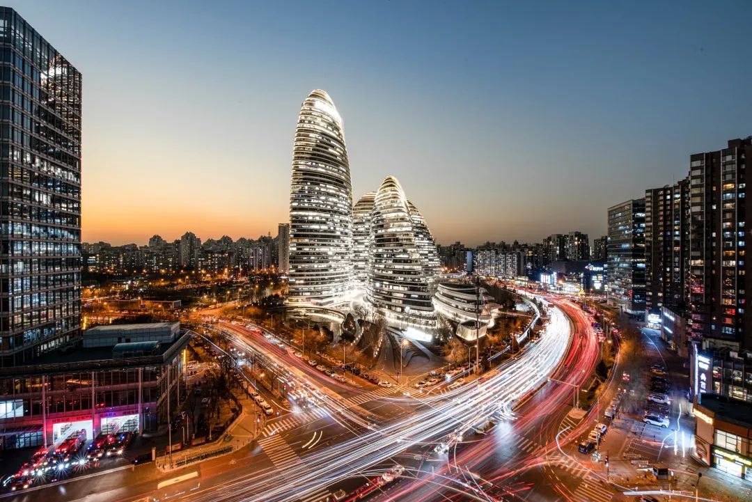
The exhibition site is located in the atrium of Wangjing SOHO
. 
White collar workers in the office building, customers from shopping malls and residents of surrounding communities, carrying backpacks, pushing strollers and scooters, walk beside beautiful mountains and rivers, becoming a harmonious and beautiful scenery in the city
. 
The beauty of China is worth exploring, discovering, moving and loving
. 
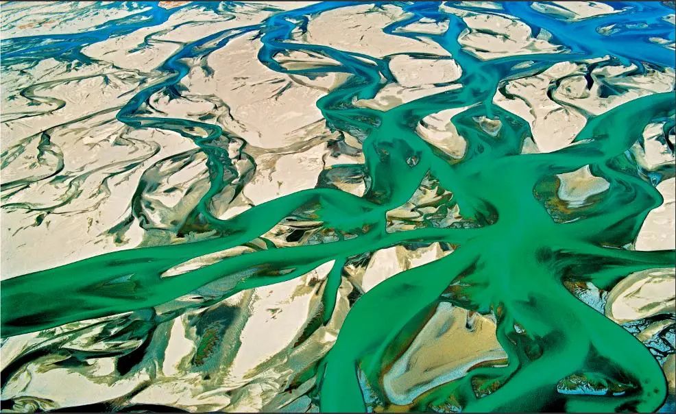
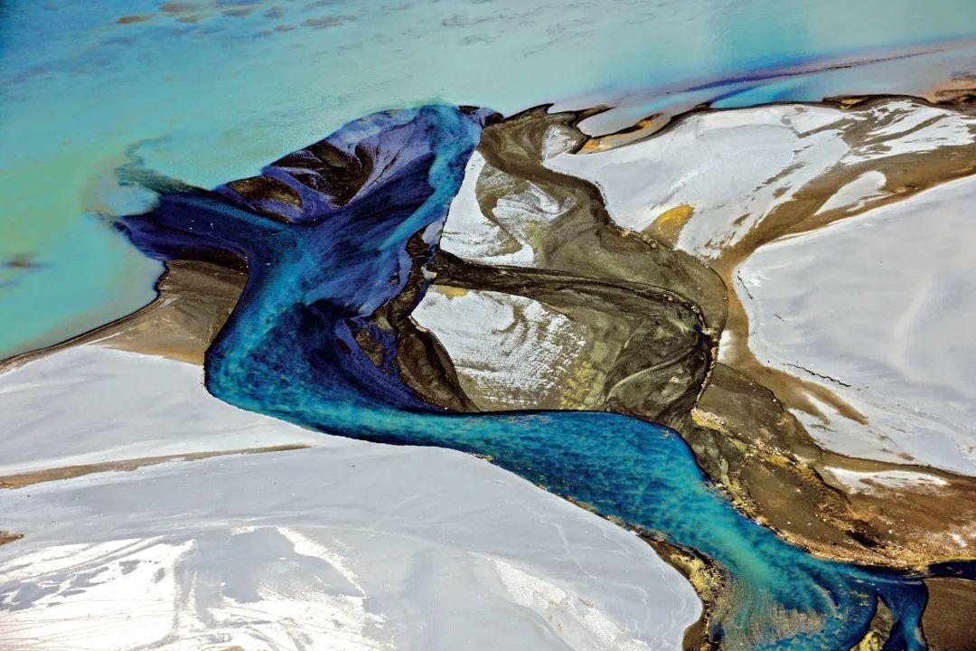
Some works appreciate the Yarlung Zangbo River The abstract painting of water and sand “braided water system” is the most wonderful part of the beautiful scenery of the Yarlung Zangbo River
. 
On the wide river surface, many dark green branching waterways swing and detour between countless sandbars, opening and closing, such as elegant train, which brings a different landscape
. 
The picture shows the Yarlung Zangbo River flowing from west to East in NAIDONG COUNTY, Shannan City, Tibet Autonomous Region
. 
The soothing river water and sandbars are intertwined to form an abstract and aesthetic picture
. 
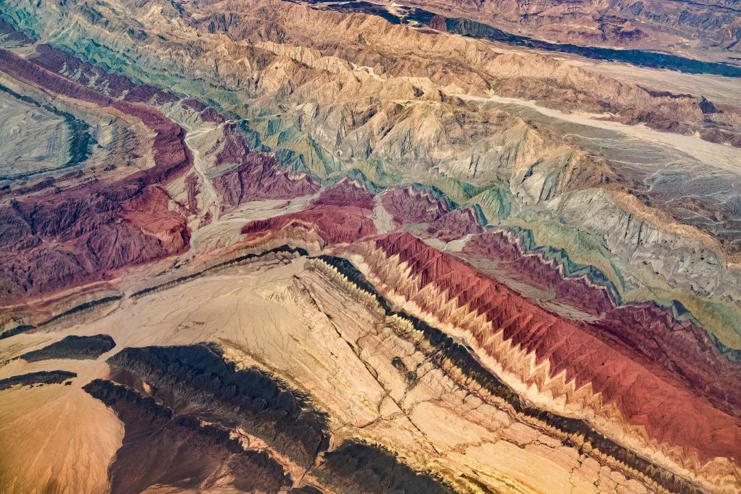
Photo / Wang Jianjun red bed landform the beautiful scenery on the land of Xinjiang is all over the north and south of Xinjiang
. 
The red beds are distributed at the foot of Tianshan Mountain, western mountains, the edge of basin and even the hinterland of desert
.
The changes of sedimentary environment for hundreds of millions of years have created the accumulation of different chemical elements in the stratum, showing color bands of different depths
.
The tectonic movement of the crust makes the original horizontal stratum tilt and lift at different angles, the cutting of water and the blowing erosion of aeolian sand expose these continuous color bands to the surface
.
The picture was taken on the flight from Urumqi to Kashgar
.
On the continuous mountains, the colors of yellow, orange, red, green, brown and white are intertwined, just like the painter’s paintings
.
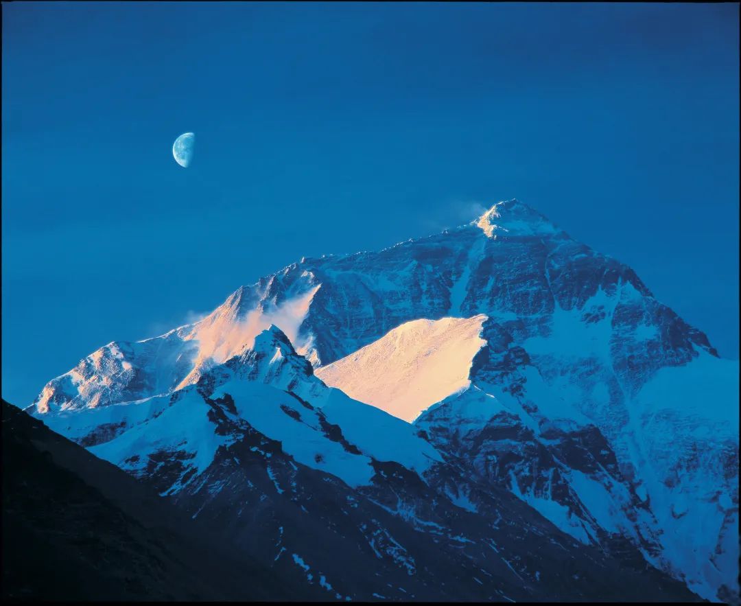
Photography / Yuming Everest No mountain with the highest popularity is respected all over the world like Mount Everest
.
It stands on the peaks of the Himalayas like a giant
.
The world’s highest peak is a holy land for climbers, and the shape of the peak pyramid is also a miraculous work of nature
.
The snow peaks on both sides build the most magnificent natural landscape of extremely high mountains in the world
.
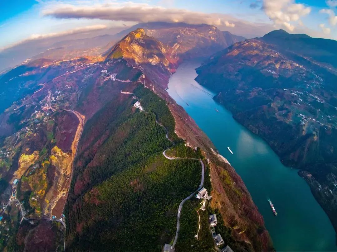
Photo / Yang Hua Three Gorges Wu Gorge is the star of the Three Gorges where Wanfeng is majestic and one river connects the Three Gorges of the Yangtze River
.
Between the parallel mountains and valleys in eastern Sichuan, the mighty river stretches forward like a blue-green ribbon, and the mountains stand tall, which is the barrier on both sides of the Yangtze River
.
Autumn is the best viewing period of Wushan mountain
.
At this time, the red leaves all over the mountain form a strong color contrast with the turquoise river
.
The picture is bright, full and rich like oil painting
.
The boat drags a long track and moves the picture
.
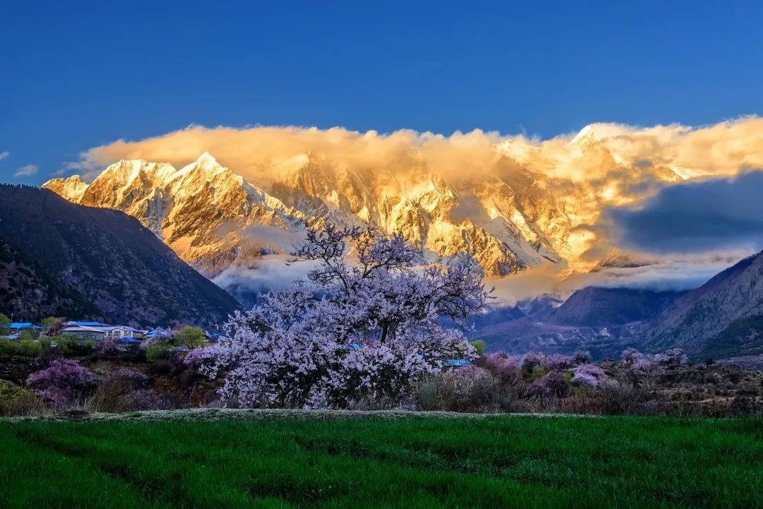
Photography / Wang Zhengkun, nangabawa Paradise in the clouds the highest peak in the eastern Himalayas – Namjagbarwa peak, with an altitude of 7782 meters“ There are many interpretations of “nangabawa” in Tibetan, one of which is “lightning burns like fire” and the other is “spear stabs into the sky”
.
From these two masculine names, we can guess the strength and invincibility of nangabawa peak
.
Nangabawa is the most beautiful snow mountain in China
.
Her huge triangular peak is covered with snow all year round, and covered with clouds all year round
.
It seems to be shy to cover it, and it is never easy for outsiders to see it
.
Against the backdrop of nangabawa snow mountain, the quiet small village at the foot of the mountain is like a paradise
.
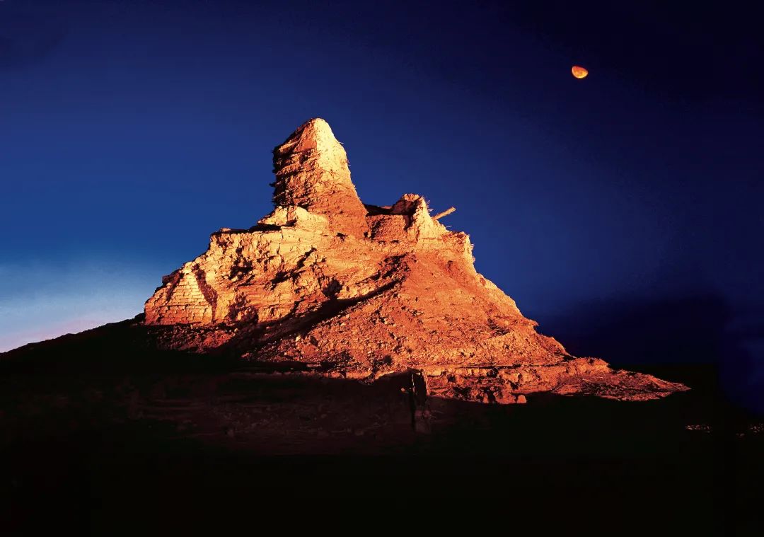
Photography / Chen Jili Loulan is lost in the mysterious ancient country of time
.
The dreamy and mysterious Loulan ancient city has been famous since it was discovered and is called “desert Pompeii” by the West
.
The ancient city is unknown
.
It reached the peak of prosperity from the Han Dynasty to the Wei and Jin Dynasties, and then it was gradually abandoned
.
From the ruins, letters and a large number of other cultural relics, we can infer the prosperity of the ancient city: the official buildings here are thick and solid; The temple buildings are tall and gorgeous; Houses and workshops are in good order
.
In addition, there are also inns, medical centers and “post offices” in the city
.
The remnant tower under the moonlight in the picture is the tallest architectural relic in Loulan ancient city
.
The pagoda is composed of a tall rammed earth platform and a round tower built of rammed earth and hardwood
.
The residual height is up to 10.4 meters
.
It is likely to be the landmark of Loulan city
.
Photo / the romance of Yang Hongya river flowing into the plateau river flows through the Yarlung Zangbo River at the southern end of Lhasa and flows out from the Himalayan glacier at an altitude of 5100 meters
.
When running all the way through the South Tibet Plateau along the main river valley developed along the east-west fault zone, many places are full of momentum, but the river flowing in this wide river in the picture, In the closer lens, it shows a quiet side
.
The flowing water is impacting the beach, dividing many large and small sandbars in the river, and rippling charming ripples around the sandbars
.
In front of an island standing in the river, a bay of still water presents changing colors such as green, blue and yellow, just like gemstones falling from heaven, eye-catching and psychedelic.
.